


“There are many remote sensing satellites that can photograph the earth’s surface, and the data can be used by the community,” said Rokhis Khomarudin, Head of the BRIN Geoinformatics Research Center, on Thursday.
He said that remote sensing technology is developing rapidly. Spatial satellites can currently capture images of very high resolution, wherein they can view houses from above and detect other important objects.
“We can detect areas with satellite images with high spatial resolution,” he remarked.
He explained that remote sensing technology can detect disasters before they occur by sending an early warning system.
Remote sensing technology can also detect changes in land cover, map hazards, and the vulnerability of an area to disasters.
Khomarudin noted that through satellite images, BRIN can detect locations at risk for disasters, such as land and forest fires.
“After a disaster event, we can see the impact, the locations that are damaged, and so on,” he said.
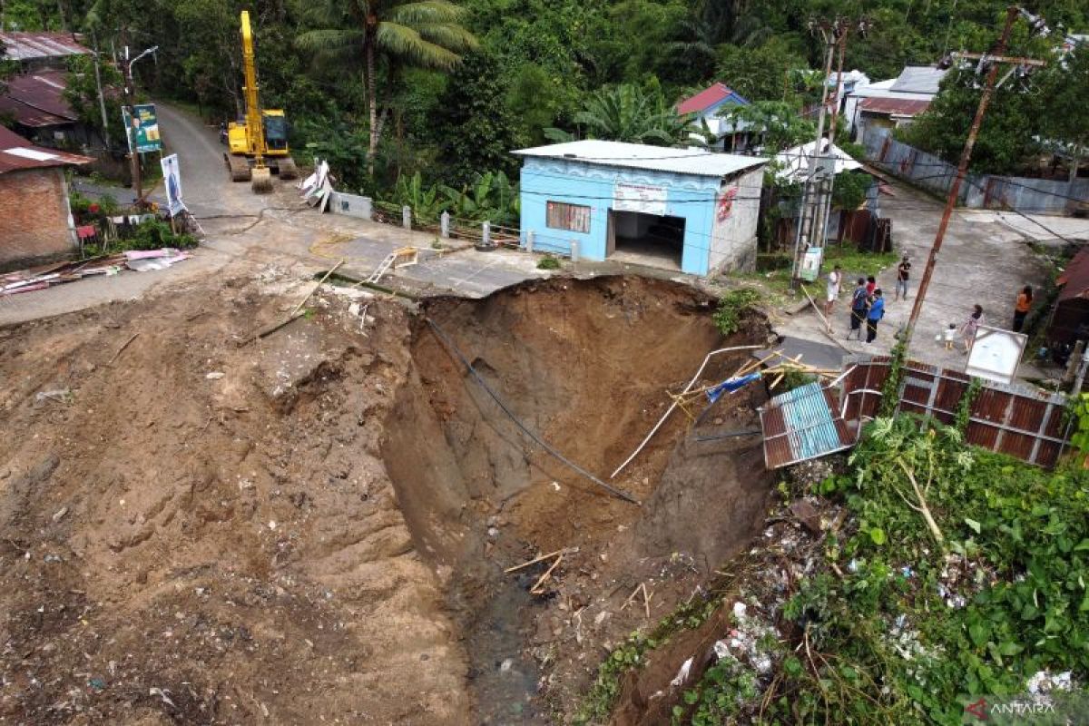
The National Disaster Mitigation Agency (BNPB) recorded that some 183 landslide incidents had been recorded in Indonesia this year.
Landslides are the most frequent natural disaster to have occurred in Indonesia, with over 7,000 landslides recorded over the past decade, according to the agency.
“Landslides are very important to be studied so that their impact can be reduced in the future,” said Sukristiyanti, a researcher at the BRIN Geological Disaster Research Center.
Related news: Tana Toraja landslide: 18 dead, 77 survivors evacuated
Related news: BNPB to develop national landslide early warning system: Official
Translator: Sugiharto P, Kenzu
Editor: Anton Santoso
Copyright © ANTARA 2024
More Stories
China, Indonesia to wrap up both Thomas & Uber Cup Finals
China, Indonesia to wrap up both Thomas Cup & Uber Cup Finals
Xinhua Asia-Pacific news summary at 1600 GMT, May 4